
Wyoming Mesonet
Water Resources Data System and State Climate Office
SEO WACNet, UW USACE UMRB, USDA-ARS, BLM
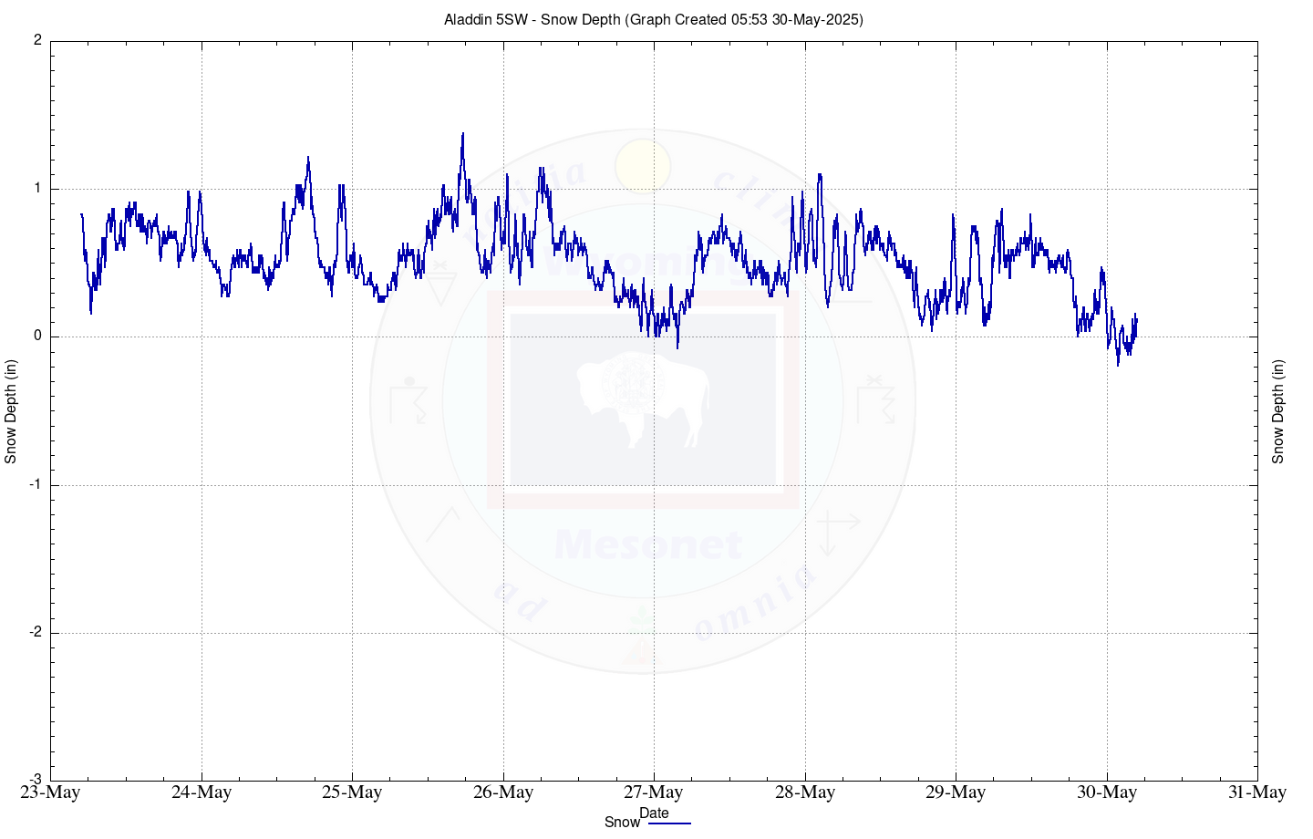
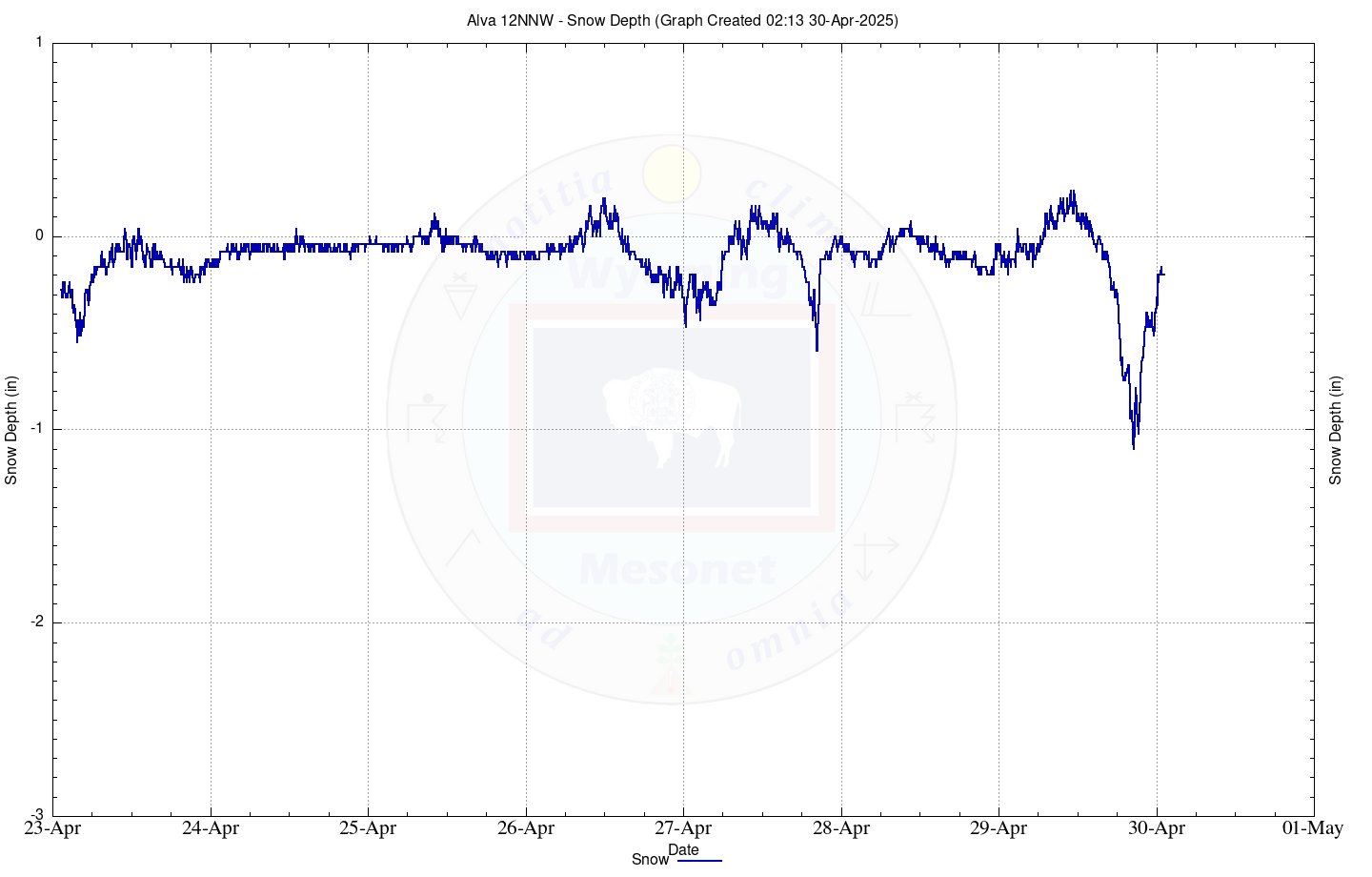
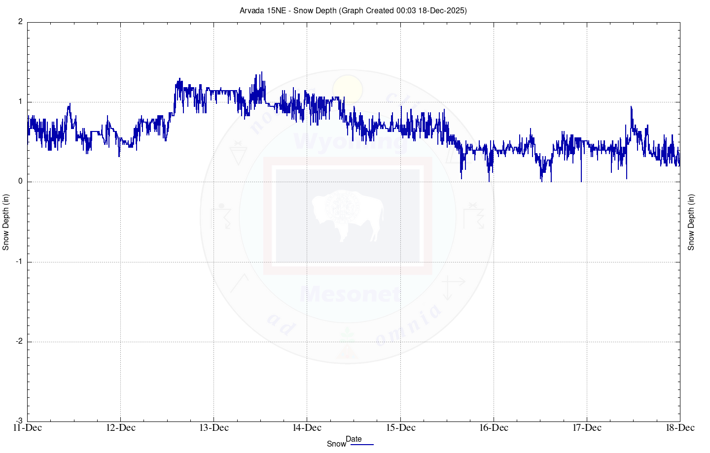
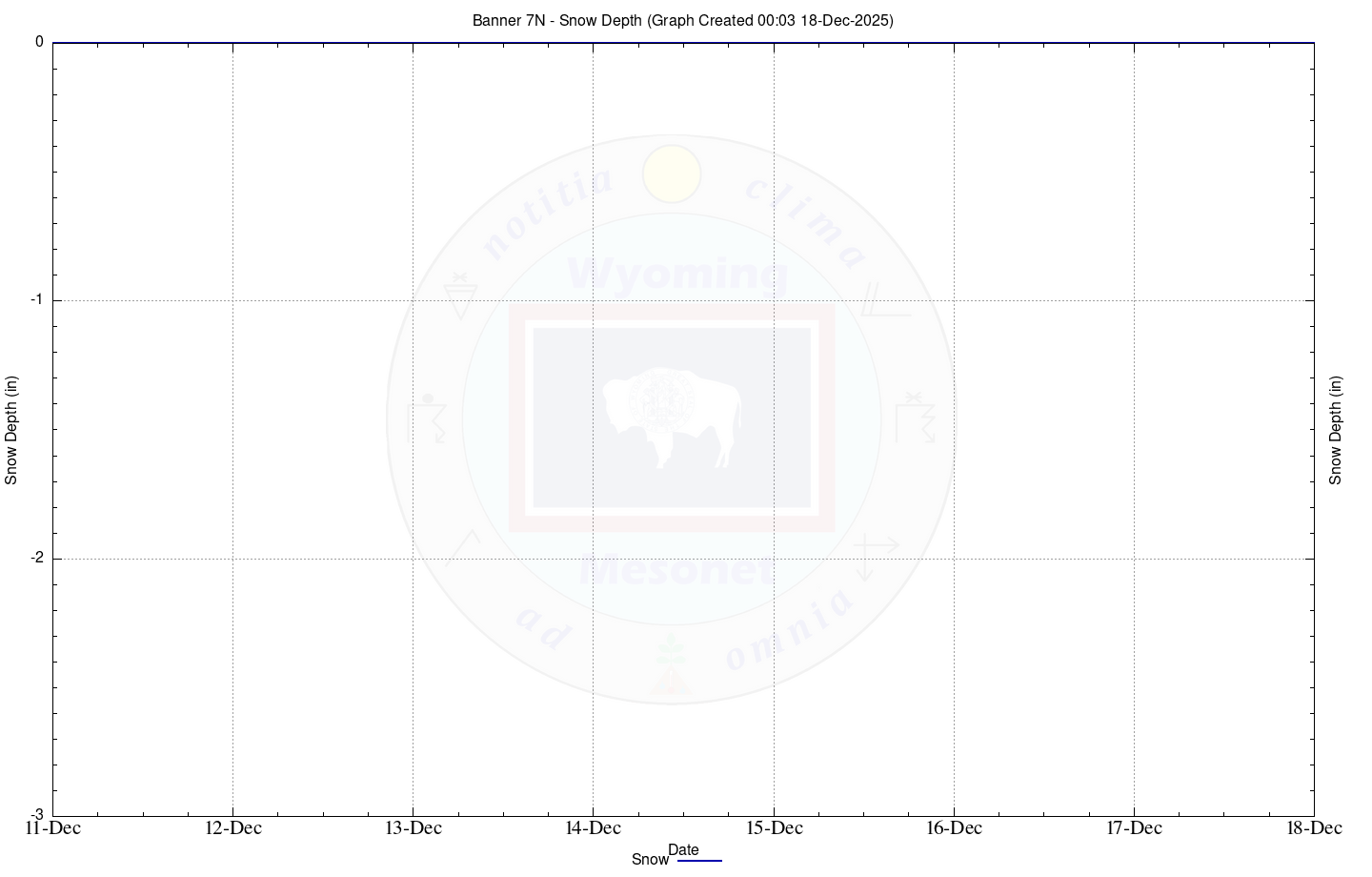
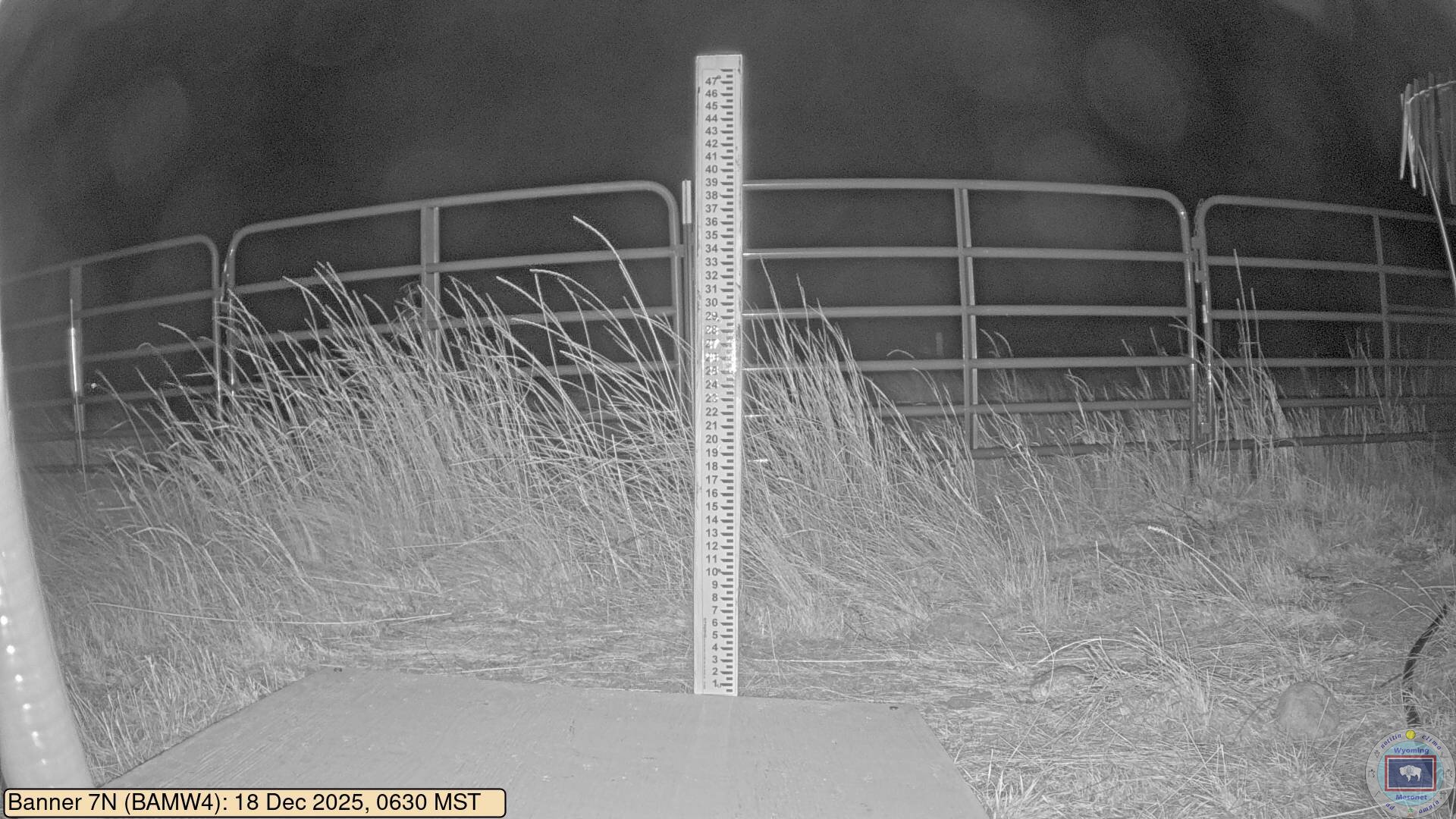
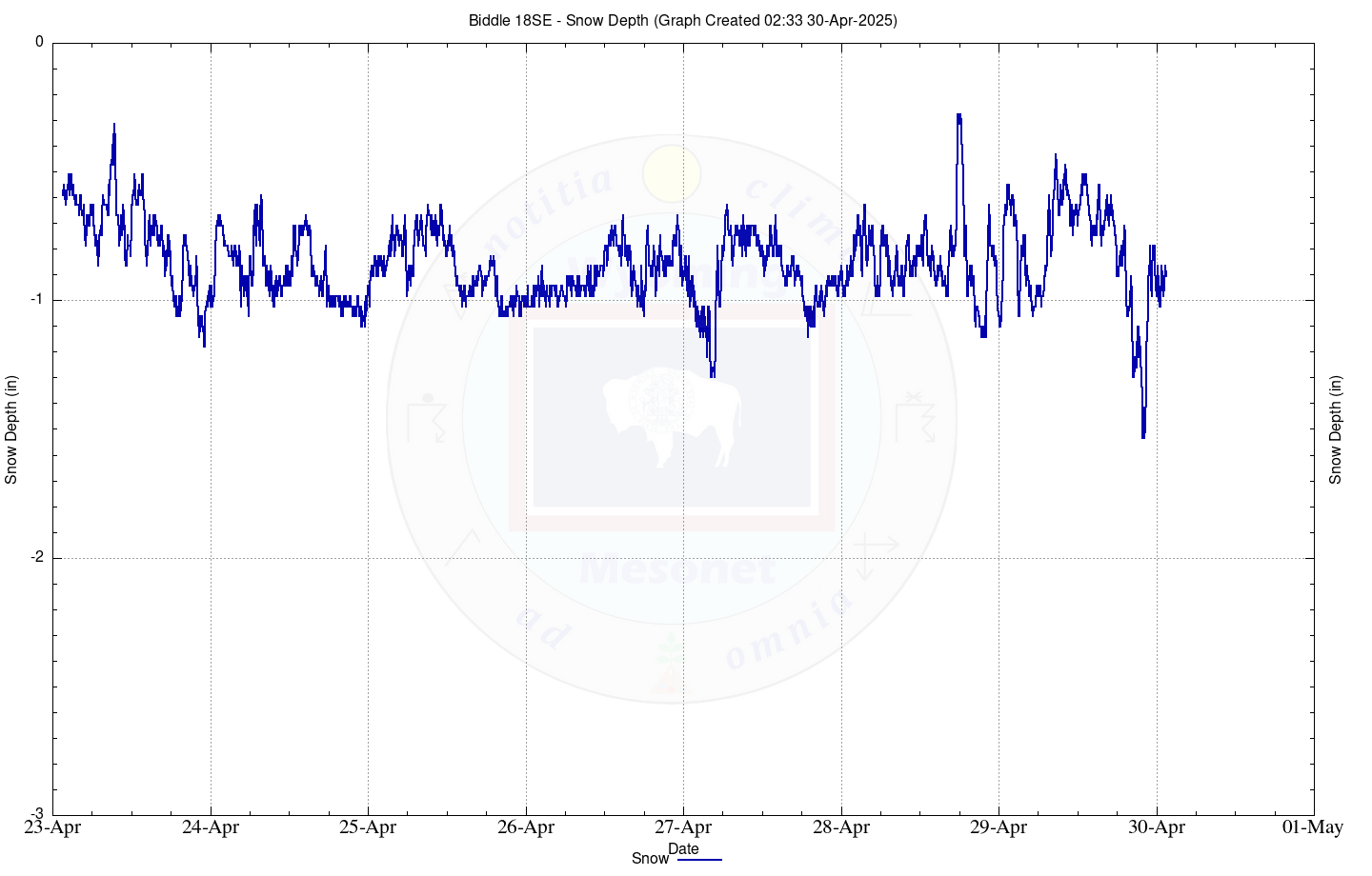
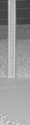
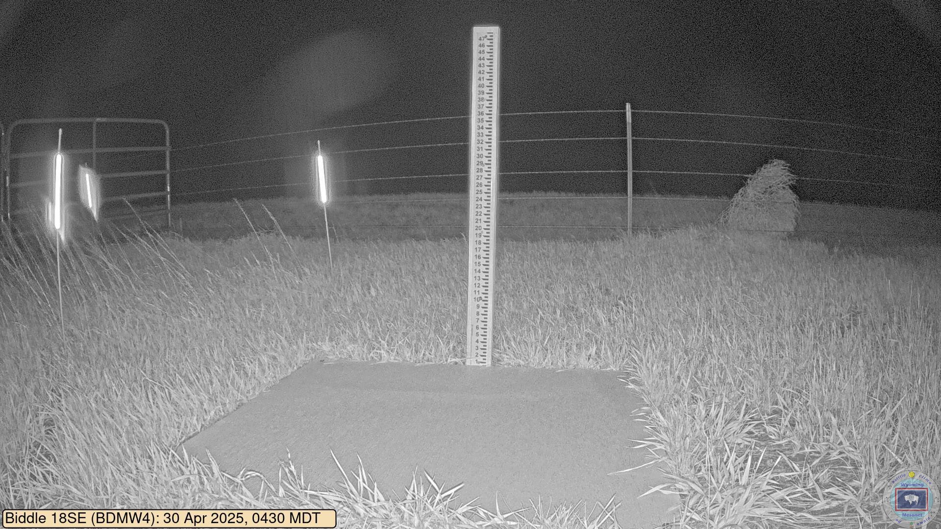
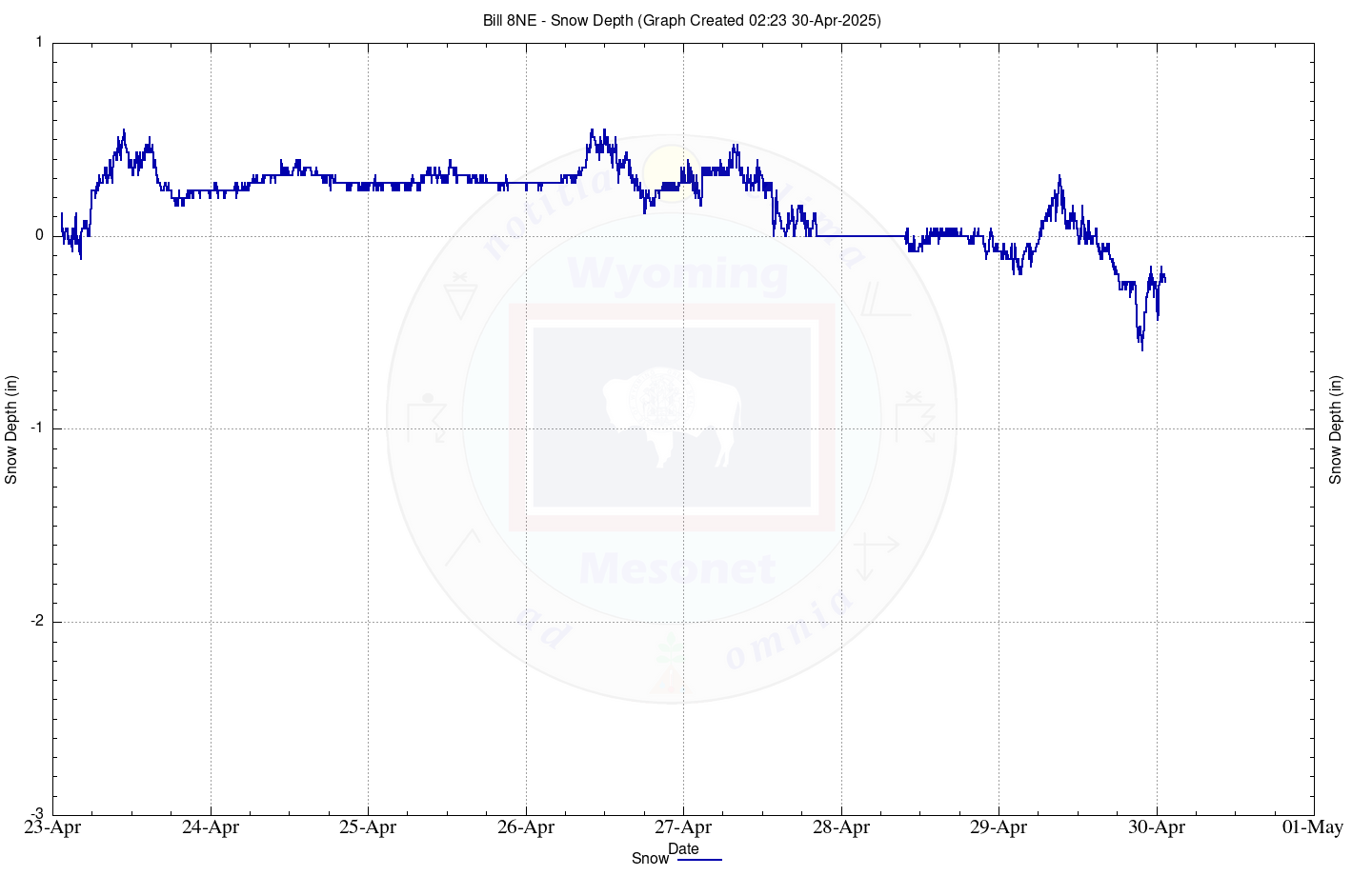
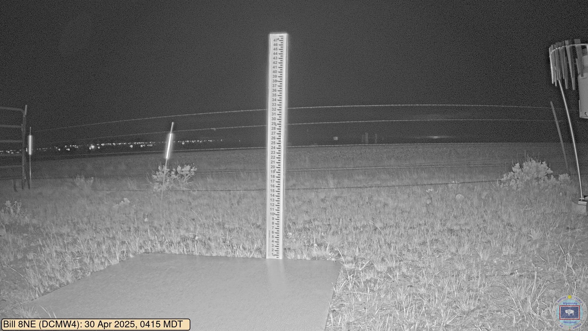
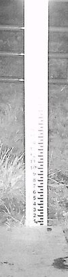
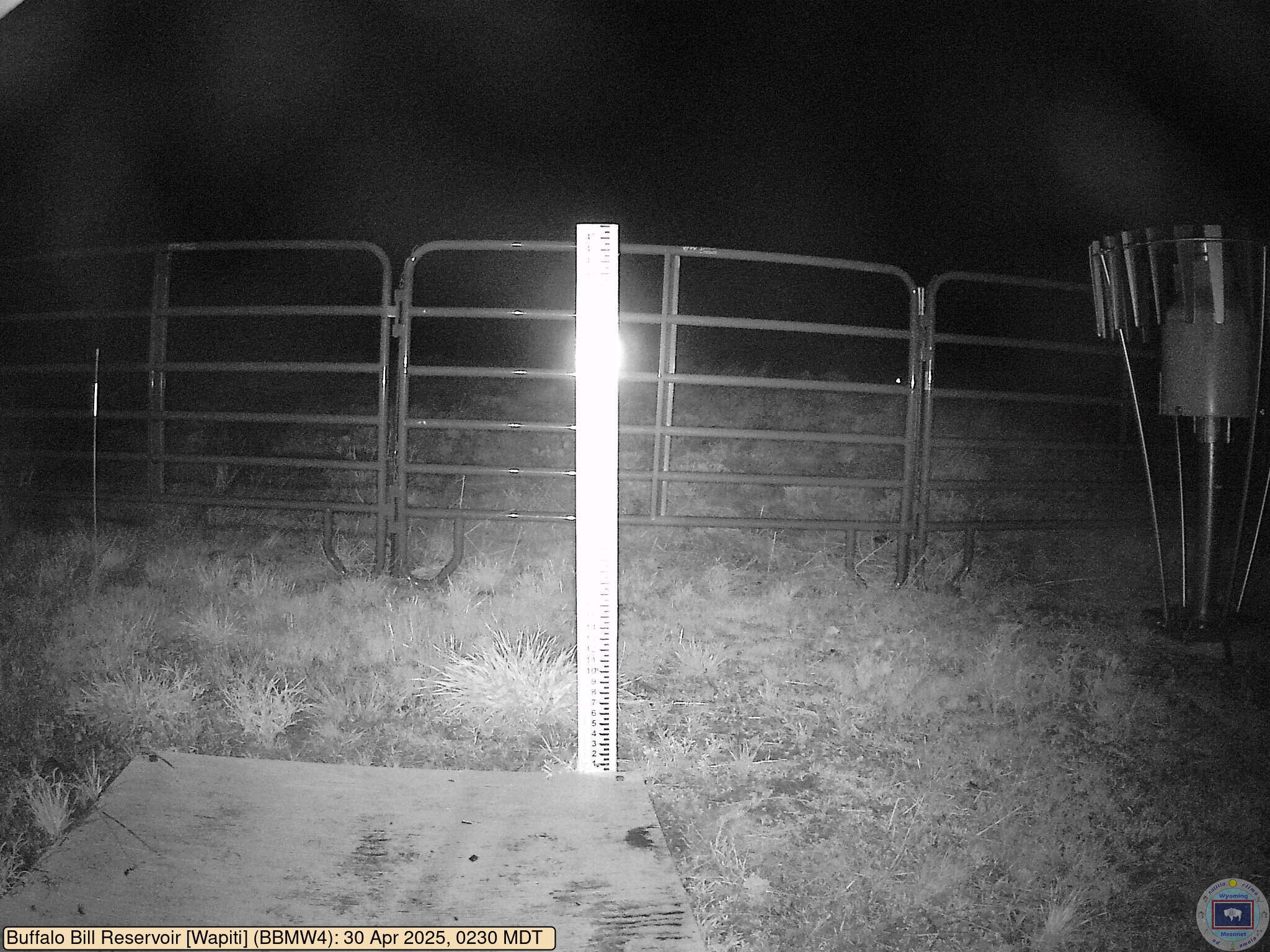
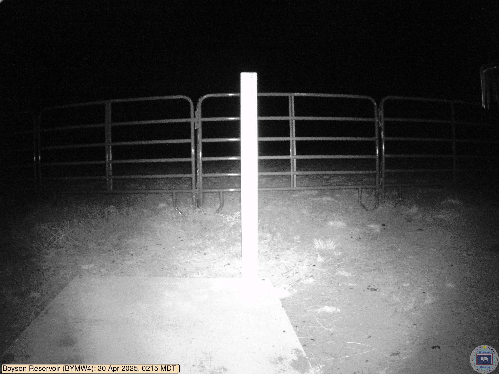
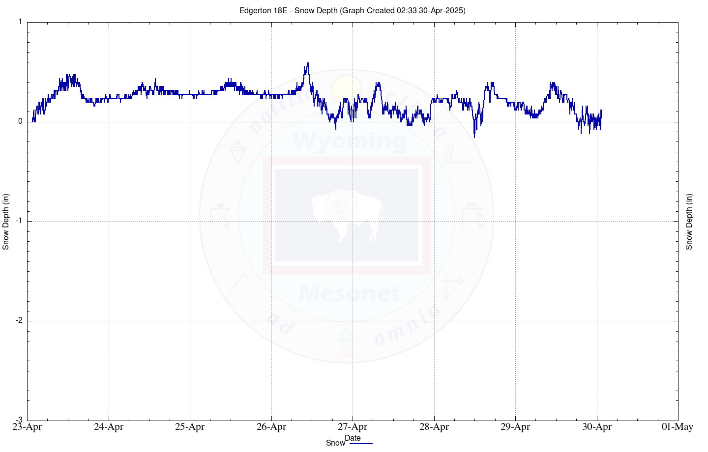
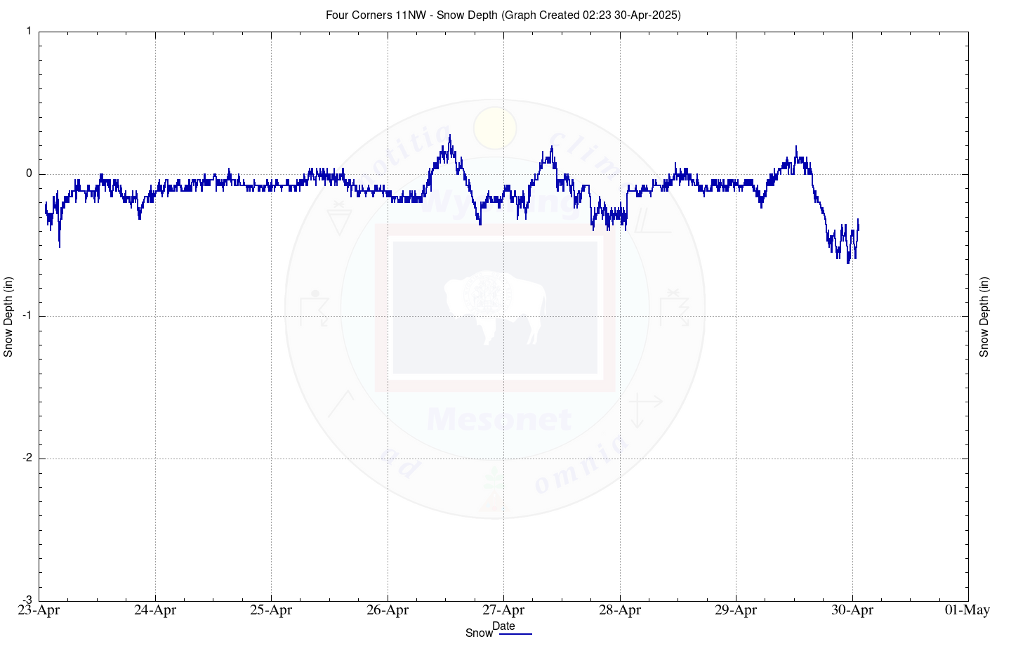
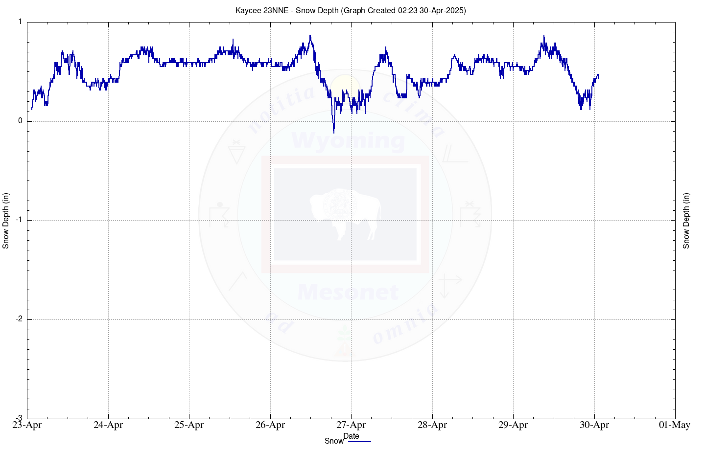
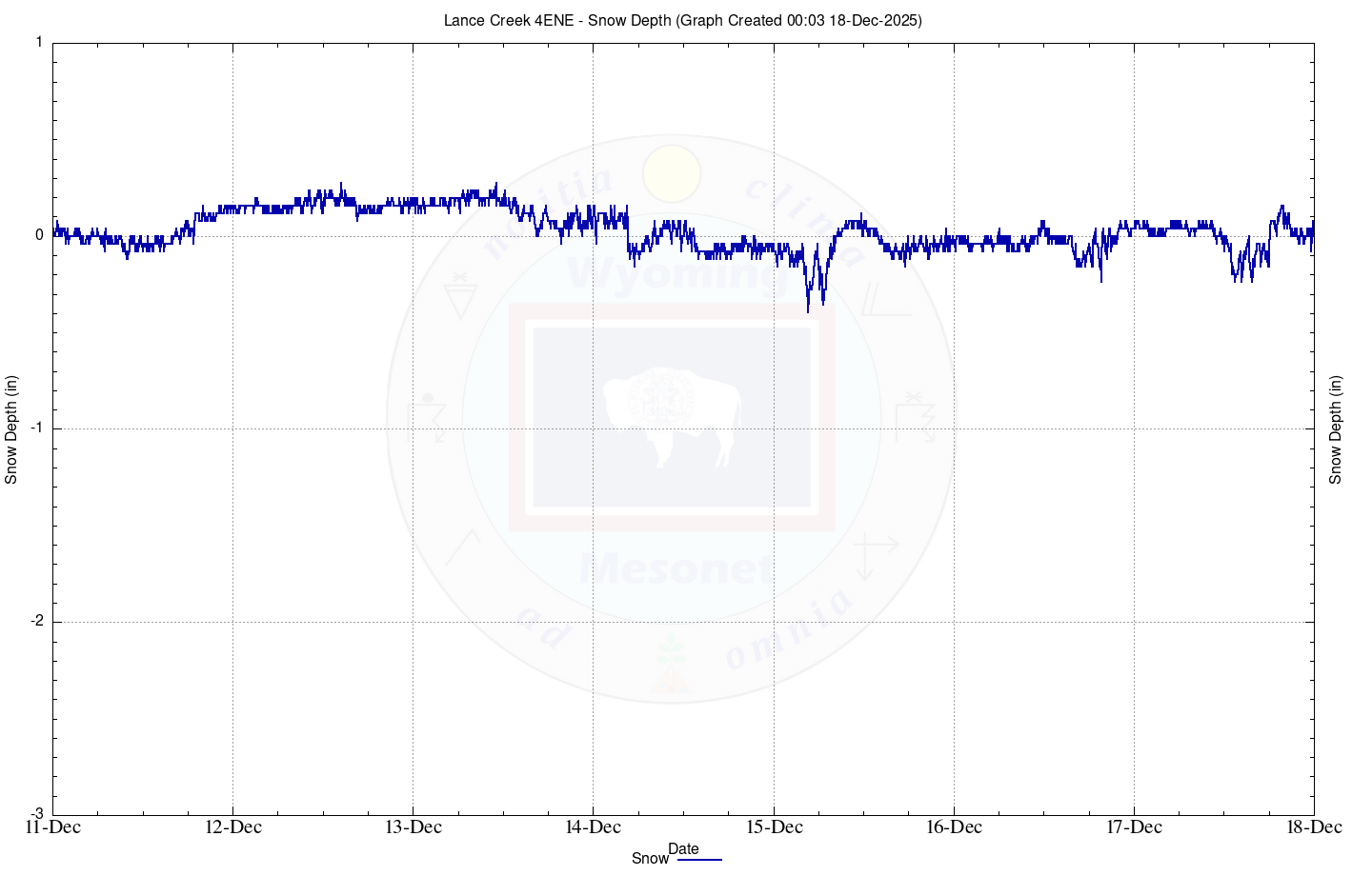
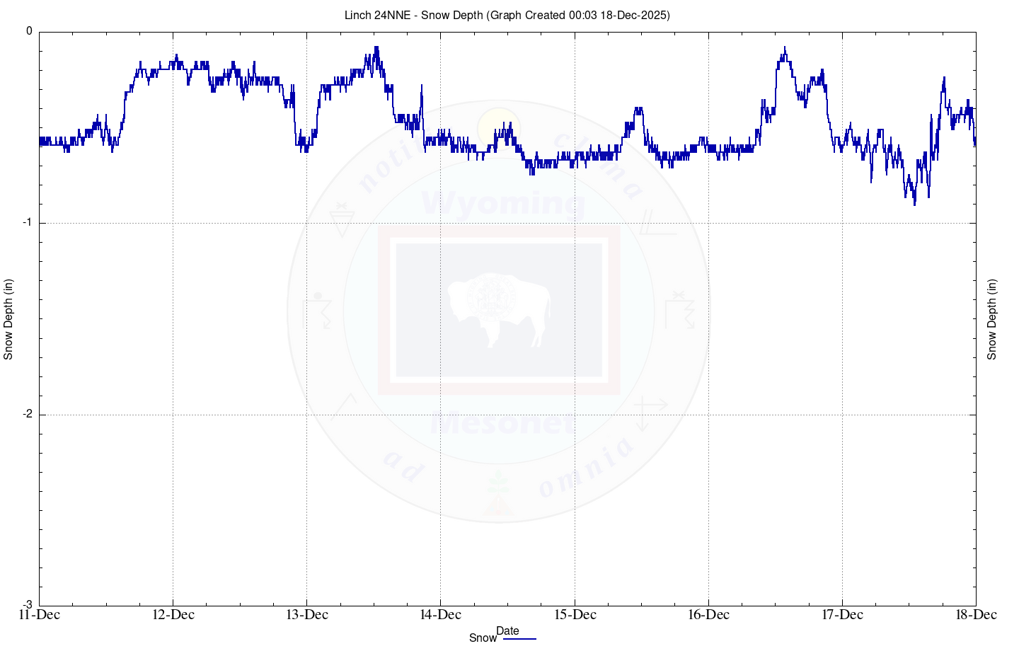
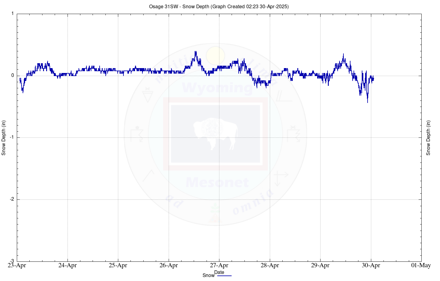
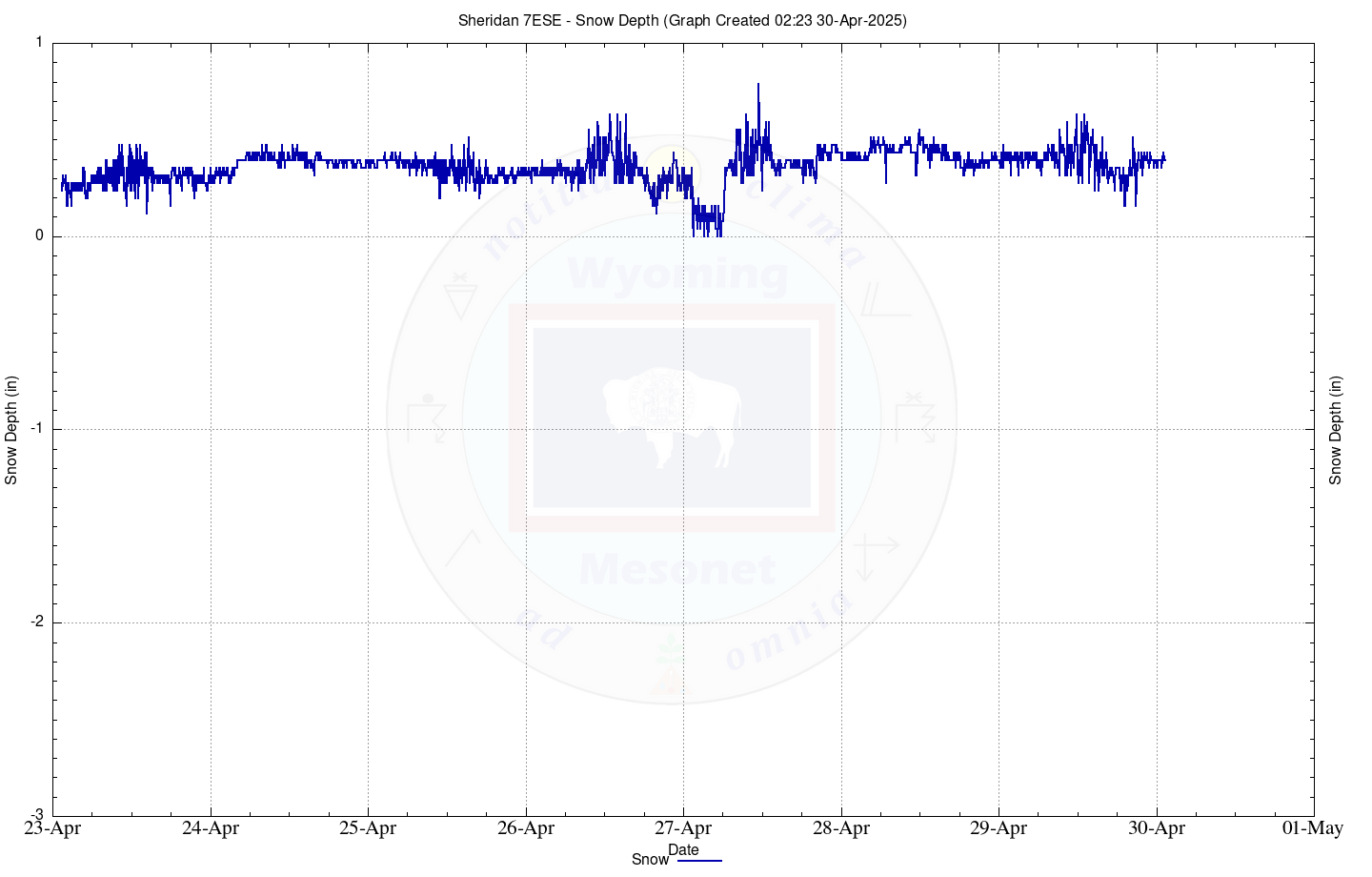
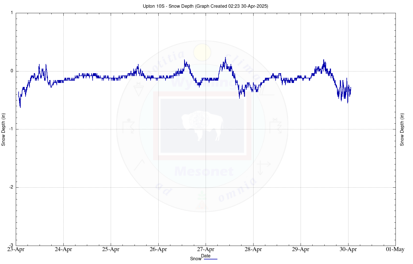
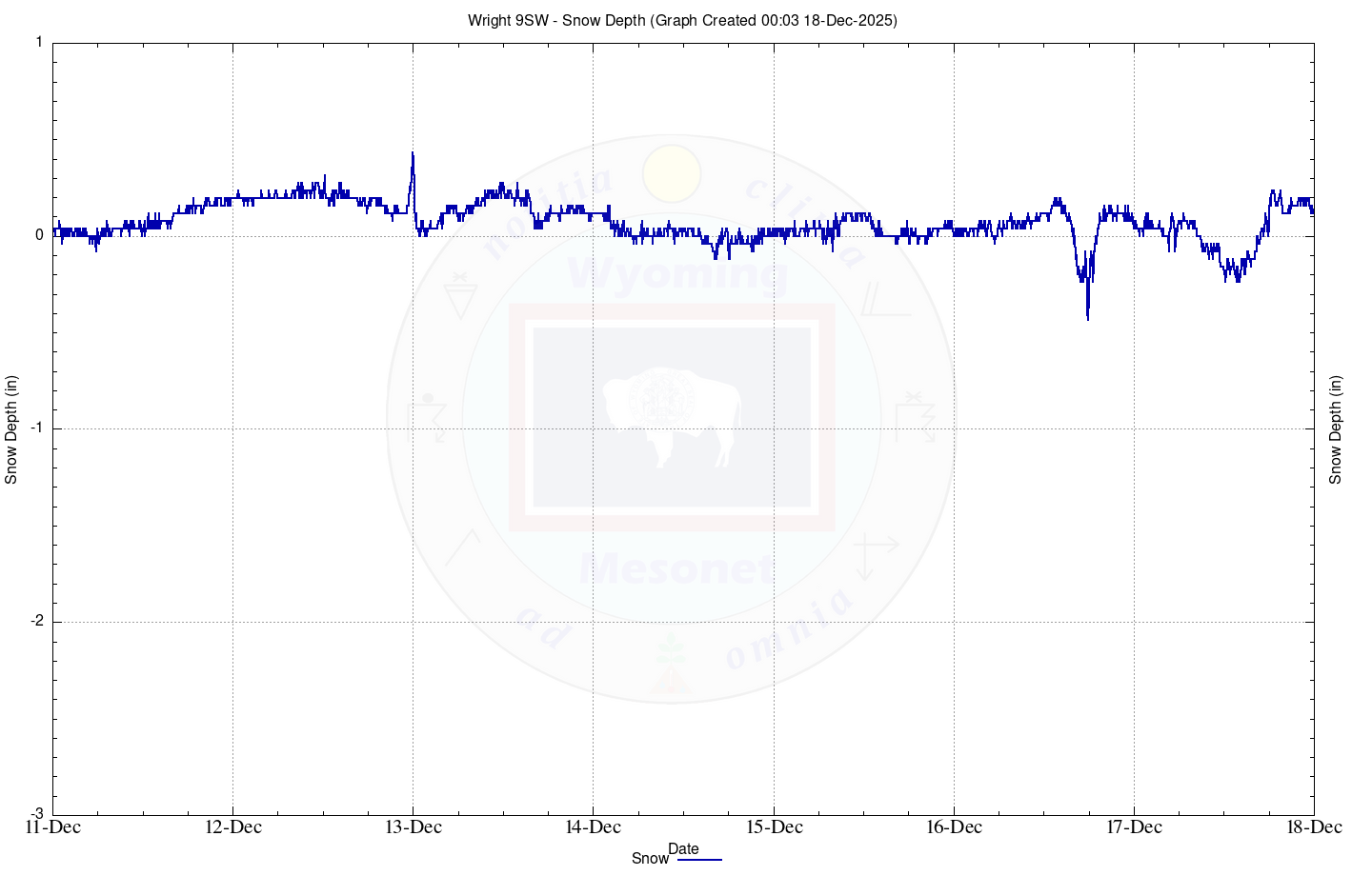
Snow Depths
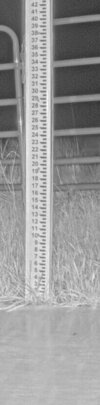
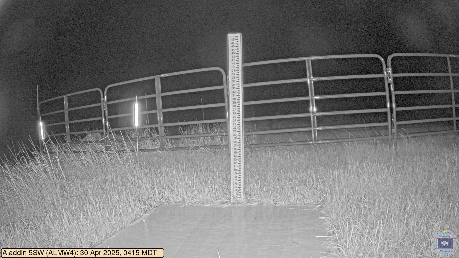
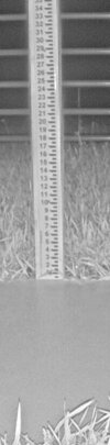
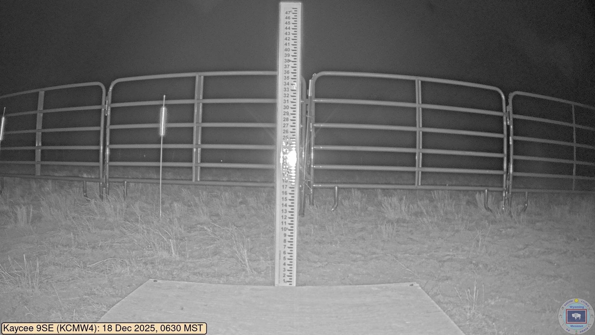
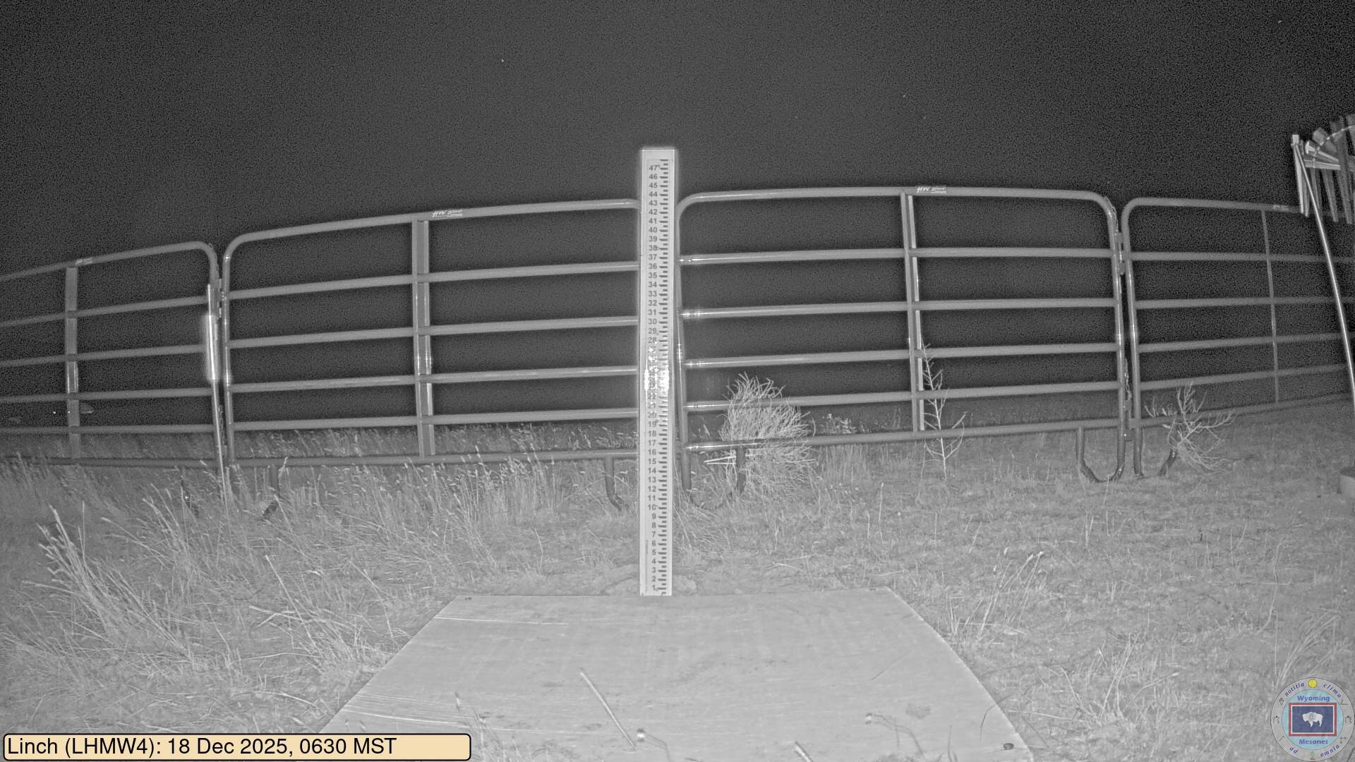
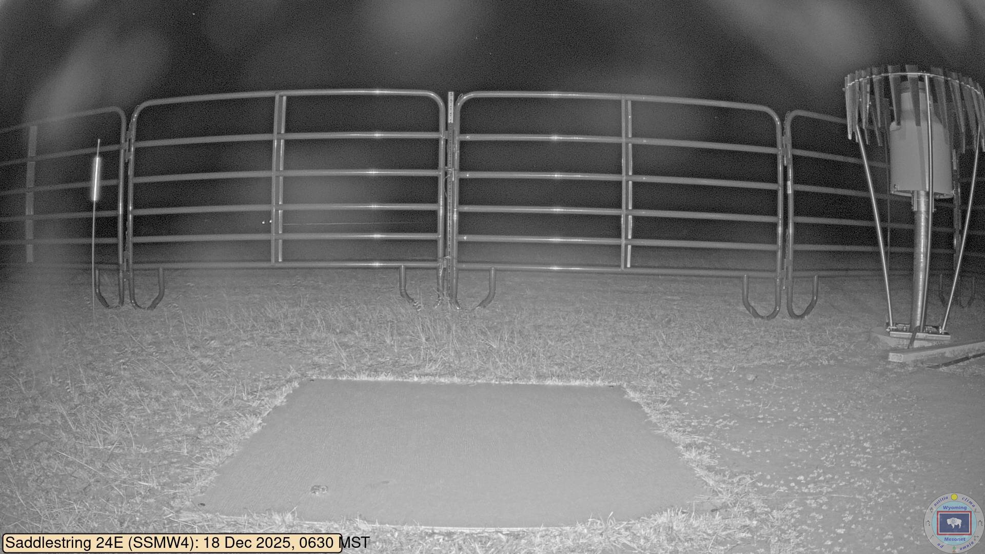
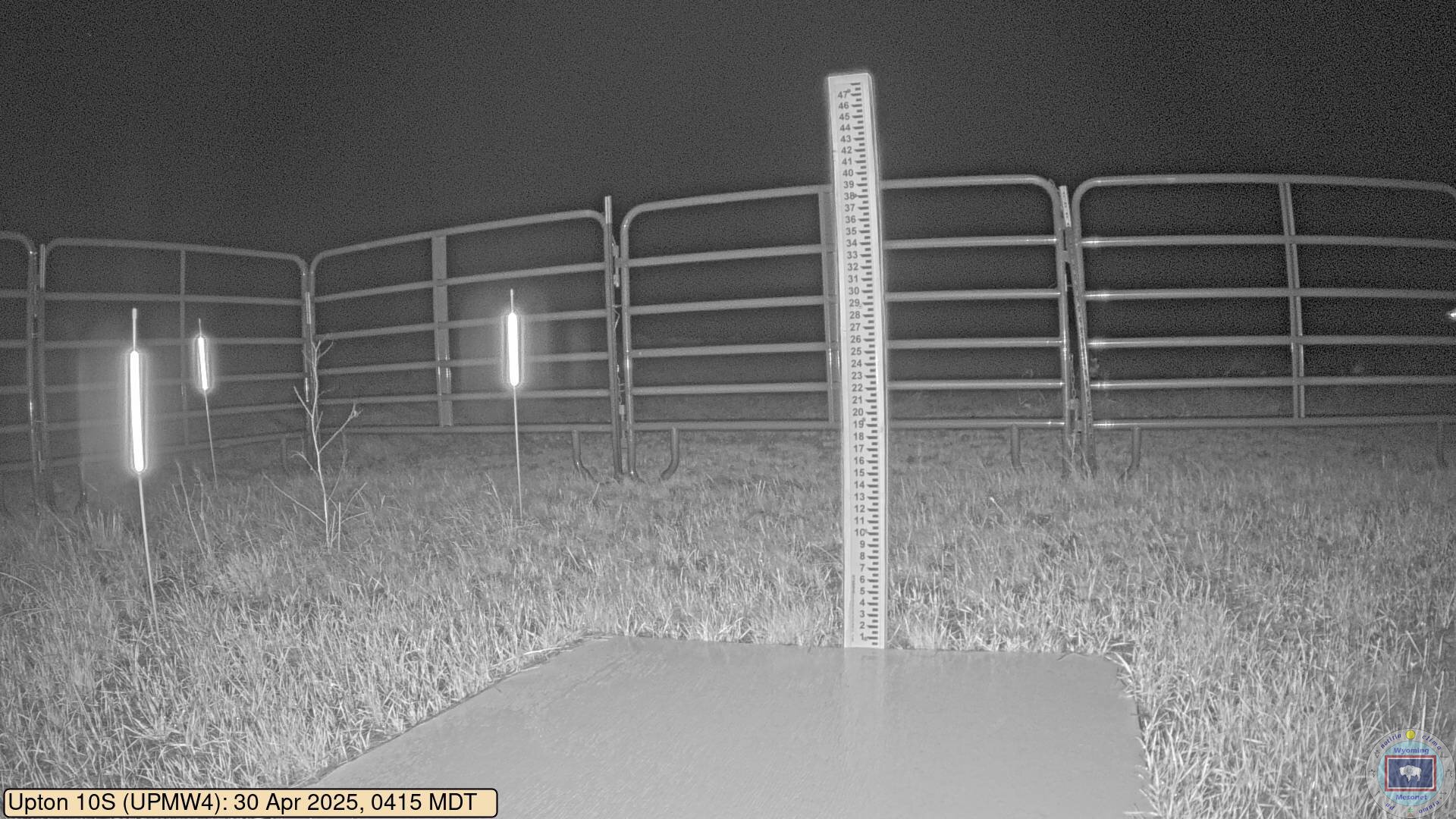
ALMW4 (Aladdin 5SW)
21 Jul 2026 03:10 MST - Chart Depth: -0.04 inches
21 Jul 2026 03:10 MST - Chart Depth: -0.63 inches
21 Jul 2026 03:10 MST - Chart Depth: 0.79 inches
21 Jul 2026 03:10 MST - Chart Depth: 10.95 inches

21 Jul 2026 03:10 MST - Chart Depth: -0.83 inches
21 Jul 2026 03:10 MST - Chart Depth: 0.28 inches
21 Jul 2026 03:10 MST - Chart Depth: 0.00 inches
21 Jul 2026 03:10 MST - Chart Depth: 0.04 inches
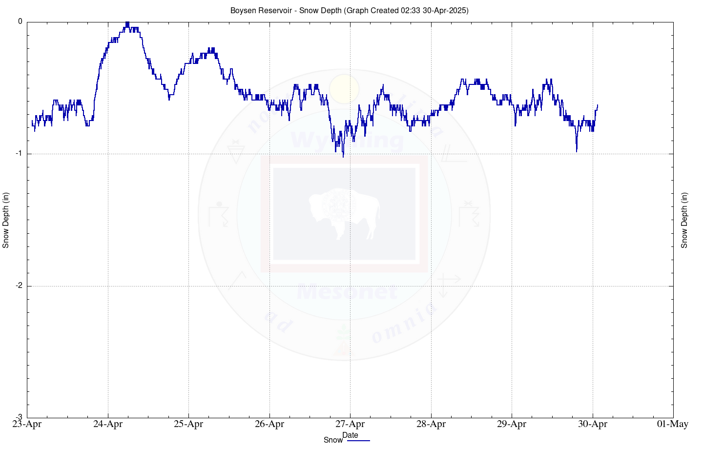
21 Jul 2026 03:10 MST - Chart Depth: 0.20 inches

21 Jul 2026 03:10 MST - Chart Depth: -0.12 inches

21 Jul 2026 03:10 MST - Chart Depth: -0.55 inches

21 Jul 2026 03:10 MST - Chart Depth: -0.75 inches

21 Jul 2026 03:00 MST - Chart Depth: 11.81 inches

21 Jul 2026 03:10 MST - Chart Depth: 0.83 inches
21 Jul 2026 03:10 MST - Chart Depth: -0.16 inches
21 Jul 2026 03:10 MST - Chart Depth: 0.04 inches
21 Jul 2026 03:10 MST - Chart Depth: -0.75 inches
21 Jul 2026 03:10 MST - Chart Depth: 0.12 inches
21 Jul 2026 03:10 MST - Chart Depth: 0.00 inches
21 Jul 2026 03:10 MST - Chart Depth: -0.24 inches
21 Jul 2026 03:10 MST - Chart Depth: 0.16 inches
21 Jul 2026 03:00 MST - Chart Depth: 0.24 inches
21 Jul 2026 03:10 MST - Chart Depth: 0.00 inches
21 Jul 2026 03:10 MST - Chart Depth: -0.28 inches
21 Jul 2026 03:10 MST - Chart Depth: 0.20 inches

21 Jul 2026 03:10 MST - Chart Depth: 0.12 inches
21 Jul 2026 03:10 MST - Chart Depth: -0.59 inches
21 Jul 2026 03:10 MST - Chart Depth: -0.12 inches
21 Jul 2026 03:10 MST - Chart Depth: 0.20 inches

21 Jul 2026 03:10 MST - Chart Depth: -0.20 inches
21 Jul 2026 03:10 MST - Chart Depth: 0.00 inches

21 Jul 2026 03:10 MST - Chart Depth: 0.00 inches

21 Jul 2026 03:10 MST - Chart Depth: 0.00 inches

21 Jul 2026 03:10 MST - Chart Depth: -0.32 inches

21 Jul 2026 03:10 MST - Chart Depth: 0.16 inches
21 Jul 2026 03:10 MST - Chart Depth: -0.43 inches
21 Jul 2026 03:10 MST - Chart Depth: 0.39 inches