| Landslides in red Click image to enlarge (798 kb) | ||
| Name: | Landslide Coverage - Boundary_Ridge 7.5 Minute Quadrangle | 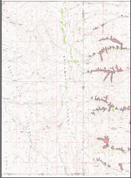 |
| Scale: | 1:24,000 | |
| Projection: | UTM Zone 12 | |
| Datum: | NAD 1927 | |
| Data Type: | Polygon | |
| Date: | 2000 | |
| Source: | Wyoming State Geological Survey | |
| Download | Self-extracting e00 (49 kb) 42111a1.exe | |
| Full Metadata | USGS basemap DRG-E from Beartooth Mapping, Inc, Red Lodge, MT | |